What to do
How to get Easy drive from Arusha or Lake Manyara following a surfaced road to within 7km (four miles) of the main entrance gate; can continue on to Ngorongoro Crater and the Serengeti. Charter flights from Arusha and the Serengeti.
When to go Open year round, but dry season between the months of June and September is recommended.
What to do Guided walking safaris.
Guided walking safaris, day trips to villages of Maasai and Barabaig tribe, visiting sites of ancient rock paintings in the vicinity of Kolo which falls on the Dodoma Road.
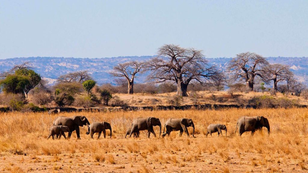
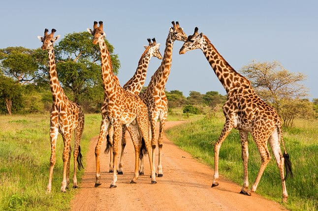
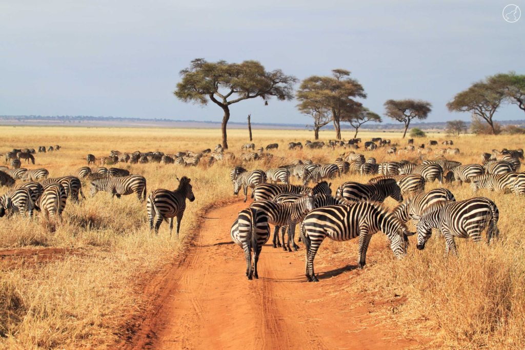
Tarangire National Park stretches over an area of approximately 2,600 sq miles or 6,700 sq kms. It lies to the south of a large open grass plain, about 70 miles from Arusha. Highly praised for its concentration of birdlife, visitors are also always entertained by the migrating elephants, buffalos, giraffes, zebras, elands, warthogs, greater kudus, impalas etc. The baobab trees, Tarangire River, and the volcanic mountain ranges add on to the beauty of this unique national park of Tanzania.